Wednesday, April 11, 2012

Sevenmile, Determination Tower, Monitor and Merrimac on the ATV

We were fortunate to be able to squeeze in a ride this year – it snowed on the day we had originally made the reservation for and we weren’t about to go out in that freezing temperatures!  The rental company (Highpoint Hummer – we highly recommend them) let us change the reservation at no additional cost.  Today was a beautiful day for a ride!  The sun was out and the temperatures were perfect!
 
We headed up the standard route – just of highway 191 outside of Arches and Canyonlands National Parks.  An offshoot trail from our standard path is the Sevenmile Rim trail.  This has always piqued our interest, but we seem to get there just after the long line of jeeps scheduled on that ride for the Easter Jeep Safari.  There isn’t an easy way to navigate around that many Jeeps, so we haven’t ever attempted it. 


Well, we made it about half way until we chickened out!  It was pretty extreme and we were afraid we would roll the ATV.  I had to hop out several times to guide Carolyn over the steep, jagged rock crags and navigate through the brush.  At one point, Carolyn was nearly vertical.  It was when we were faced with what looked like a dead end – a 6 foot tall rock wall the other Jeeps seemed to be able to crawl up - we threw in the towel and headed back on to the basic Determination Towers trail and drove over to Monitor and Merrimack Buttes…

We stopped for a bit, enjoyed the sites, grabbed a bite, and squatted behind a bush…

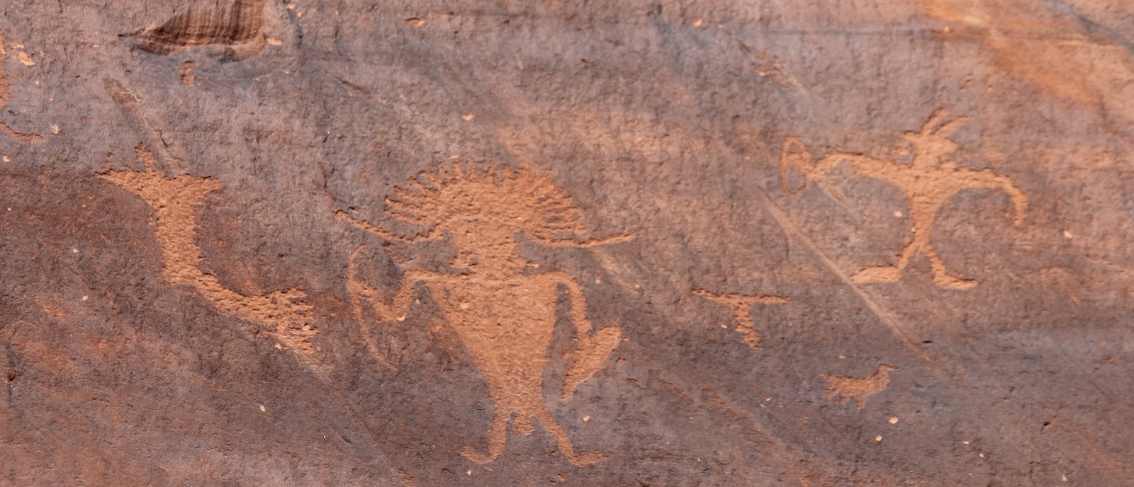
We drove up to the Tusher Tunnel – a cave that brings you out to the backside of the mountain for breathtaking views of the valley and the ATV terrain.  We had fun here for a few minutes checking out the modern day “cave drawings” (AKA graffiti) and the awesome chunks of rocks above us as we walked through the long, dark passage.  


We completed the loop, and back near 191 we headed back up into the hills to check out the Dinosaur bones.  We parked the ATV and hiked over the ravine to examine the tiny remnants of the gigantic beasts from so many years ago.  It was amazing to see so many different types of bones scattered along the hillsides. 

We completed the ride, dropped of the ATV and headed out of Moab for home.  

Arches National Park

After our day of horseback riding, we drove into Arches National Park.  Although we have been here many times before, it is utterly impossible to see everything in one trip!  We have probably seen less than ten percent of all the arches in the park.  This trip, while there was still a bit of daylight left, we decided to head over to Windows Loop Trail where we saw South Window, North Window, and Turret Arch.  We also saw the Cove of Caves, many holes in the rocks, and beautiful red rock landscapes! 

While we were in the park, we stopped in the Visitor’s Center and watched the film describing how Arches and Canyonlands were created over many millions of years. 

Driving through Arches is always such a spectacular journey… it is amazing that we live in such a beautiful state.  


Tuesday, April 3, 2012

Horseback Riding in Moab

Today we headed out of Moab for a horseback ride.  We headed down highway 128 along the Colorado River, to Back Country Guides up near Fisher Towers.  We signed up for the “Movie Sites on Horseback” ride – excited to see the spots and significant landmarks seen in many famous movies!  The tour took us through Onion Creek, Fisher Towers, Hauer’s Ranch, Ida Gulch, etc. 


These are the same spots where many movies were filmed, such as: Comancheros, Rio Grande, Rio Conchos, Smoke Signals (all with John Wayne), Goldmember (Austin Powers), Mission Impossible 2, Geronimo, and the new Disney film John Carter of Mars.  

One of the exciting highlights of the tour was to see where Bon Jovi filmed the video Blaze of Glory, the theme song for Young Guns 2.  Watch the music video here:

They filmed atop Castle Rock where they also filmed the 964 Chevy Impala Commercial, where the model got stuck overnight due to strong winds and the helicopter being unable to pick her up.  Watch the commercial here:
Carolyn rode on Mustang and Holly rode on Sadie.


Carolyn was able to go with the group with a bit more experience.  While both groups covered the same ground, Carolyn’s group was able to run the horses… which was fun at the time, but caused many sore muscles.  Mustang lived up to her name and was quite a wild creature! 

Holly rode with the newer riders… but her horse wanted to be with the runners.  She had to keep Sadie on a tight reign! 

It was beautiful country and we both had a lovely time.  

Monday, April 2, 2012

Potash Road to Shafer Trail – Our Big Adventure!


We drove up Potash Road Highway (State Route 279), stopping along to way to take in the sights.  Petroglyphs were right off the main road, high up on the rock walls.  Drawings were carved into the desert varnish:


Several more miles up the road we stopped to check out the dinosaur tracks.  The tracks were made by Therapods (three-toed predator dinosaurs that walked on two legs) 190 million years ago! 


After about 17 miles, we passed by the Moab Salt Company, where the paved road ended.  We drove through the Salt Company’s dirt road for about 5 more miles until we came back out on BLM land.  We saw amazing salt-soaked land (in some places it looked like icicles!) and extraordinary blue evaporation ponds used to process the salt. 


As we continued on the dirt trail, we hit several tough patches… we worried about getting stuck a few times, but put our faith in the Subaru and continued on!  We must have missed the signs warning of steep, narrow and rough roads, encouraging only 4 x 4 and high clearance vehicles proceed! 


We wound our way through a very rough path.  The road transitioned from red dirt and patches of sand to jagged and rocky slickrock, where we proceeded at barely a crawl.  The road was very narrow, uneven and covered with large rocks and boulders… we worried we would get high-centered or flatten the tires with the sharp rocks or flip over, or who knows what!   


At one point, we thought we should turn around, but we had come so far we decided to keep going.  We stopped a truck coming from the opposite direction to find out how much farther... he told us we were not too far and our car would be fine.  His wife looked pale from the trip, which wasn't very reassuring.  He tried to make her feel better by saying, "see honey, they are doing it in a Subaru!"  It was scary ride!! 


About 8 miles in, as we turned a corner coming down hill, we stopped in disbelief as we could see 1500 feel straight down the cliff to the Colorado River below.  It was an amazing sight that literally took our breath away.  This view was worth all the worry of the drive to get there.  Not too far past this initial sighting of the river, we came to what is known as “Thelma and Louise Point.” Where the dramatic ending to the movie occurred and Thelma and Louise drove their 1966 Thunderbird into the Colorado River. 


We continued on, and the road became more treacherous.  At one point, I thought there was no way we could continue on.  Carolyn insisted we had come too far to turn back.  So she got out of the car and guided me up the rocky path, pointing out where to put my tires.  As we continued on we came to many sketchy bits, but we just kept going!  Along the way, we passed several groups of Jeeps out for Jeep Week – many looked at us in amazement – us in our Subaru braving the rocky roads. 


We made our way out of the canyon – the winding switchback road took us up 1500 feet to the canyon rim above, and back safe and sound on pavement again!!  In all, we were on the off-road trail for 30 miles, ending up inside Canyonlands National Park.  It took us about 3 hours to get all the way through.  It was an amazing trip…

This is the first time we saw the warning signs, AT THE END OF THE 30 MILE ROAD: 


We are glad to have made it… and the good old Subaru is still in one piece!  No dents, no dings, and no flat tires!!

Sunday, April 1, 2012

Negro Bill Canyon


Today we hiked up Negro Bill Canyon to Morning Glory Bridge.  It was a beautiful hike!  About 5 miles round trip, the trail crossed over the river several times and wound slowly up the canyon.  We got our feet wet a couple times, but the warm sun dried them in no time.

The canyon was named for William Granstaff (Negro Bill) who lived in the area in the 1870’s and laid claim to the land where he ran cattle Some say he was an outlaw, others say he was a rancher and prospector. 

The Morning Glory Natural Bridge has a span of 243 feet.  This bridge is in the U.S. Top Ten for longest natural rock spans.  The name refers to the glorious light that bathes the arch during sunrise, not the presence of Morning Glory Vines. 

Moab! Our 3rd Annual Trip!

We headed out of Salt Lake yesterday for our annual trip to Moab, Utah!  We are staying at 3 Dogs and a Moose Cottages... we are in Kenzie's Cottage (a wee bit smaller than the French Cottage we had last year... Kenzie's would fit in the French Cottage's kitchen!) and it is adorable.


Our plans for this year include: hiking, ATV tail riding on a Polaris RZR, Sound and Light boat trip show with a cowboy style dutch oven dinner, and horseback riding.

The weather forecast is looking better than last year... it is sunny and beautiful!